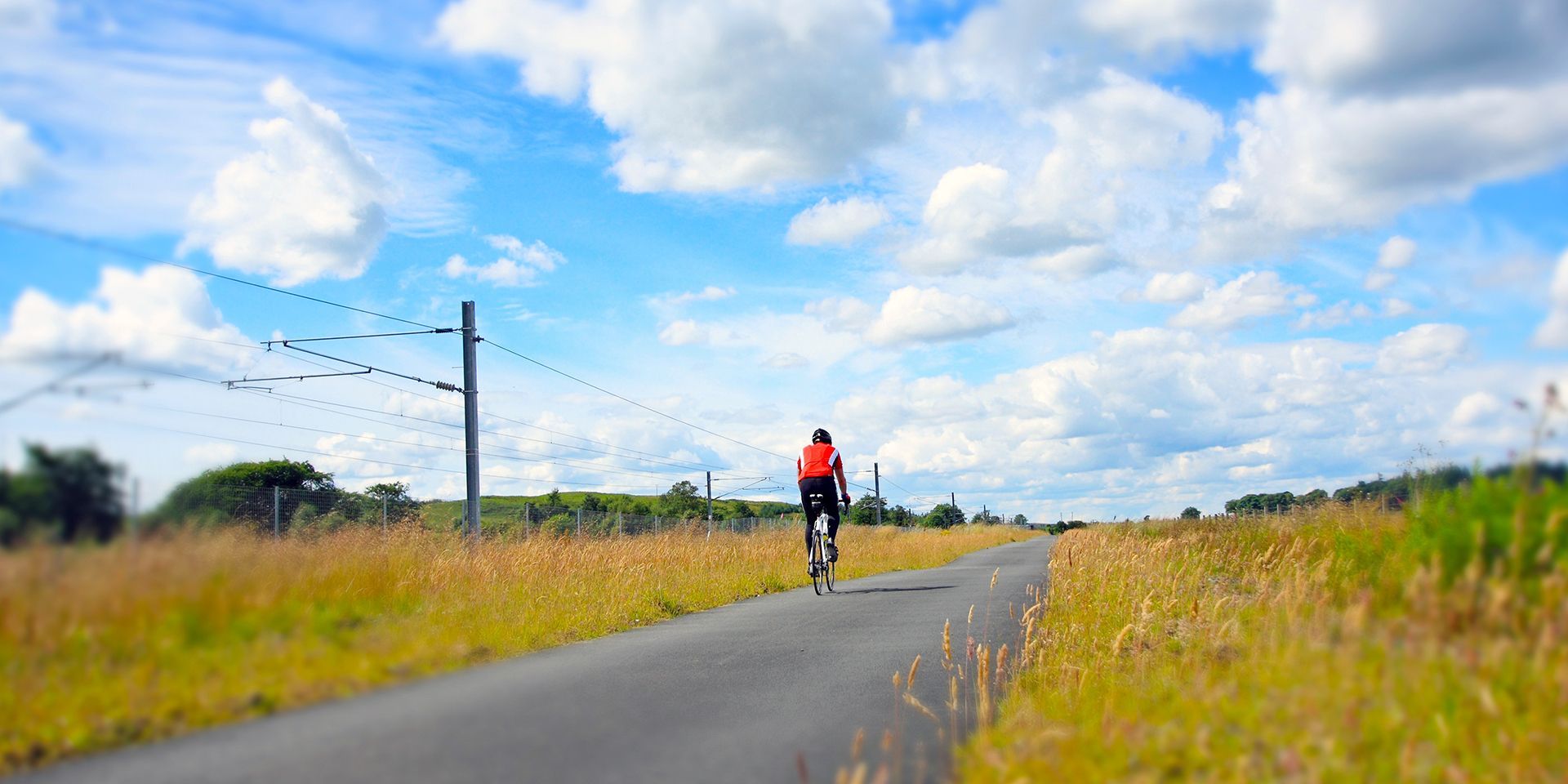
After a week of more typical summer weather for the UK, conditions are set to become increasingly warm and settled through the weekend and into next week.
While heatwave conditions are likely to develop in some areas, temperatures are not expected to reach the exceptional levels seen during the record-breaking heat at the end of June.
High pressure set to take control
The main story over the next 10 days is the gradual return of high pressure. During the past week, an active jet stream has steered areas of low pressure across the UK, particularly affecting northern and western regions with spells of cloud, wind and rain.
As we head into the weekend, the jet stream is expected to shift further north, allowing high pressure associated with the Azores High to build from the south. This will increasingly dominate the UK's weather through much of next week, bringing more settled conditions, plenty of sunshine and very little rainfall for many areas.
While a largely dry forecast is expected across much of the country, especially in southern areas, the position of the high pressure will be important in determining just how warm conditions become. Unlike the June heatwave, the centre of the high is forecast to remain slightly west of the UK. This encourages a more westerly airflow, helping to moderate temperatures and prevent the extreme heat experienced recently.
Warm conditions developing through Friday
Thursday begins with a weather front clearing southern and eastern parts of the UK, bringing a cloudier start before brighter conditions develop widely through the afternoon. Temperatures will already be climbing into the mid-20s Celsius across parts of southern and eastern England, while northern and western areas remain fresher under a north-westerly breeze.
Clear skies and light winds for many will then lead into a largely dry Thursday night and Friday. However, weather fronts approaching the north-west will bring increasing cloud and the possibility of some rain across western Scotland and parts of Northern Ireland. Elsewhere, conditions remain predominantly dry with a mild start to the day.
Temperatures continue to rise on Friday, with values reaching around 27°C in central parts of London and around 25°C more widely across eastern and central England. Northern England and sheltered parts of Northern Ireland should also enjoy temperatures into the low 20s Celsius.
READ MORE: Deep Dive: How does June 2026 compare with the summer of 1976?
Weekend warmth spreads
The weekend will continue the recent trend of a north-west to south-east split in conditions.
High pressure remains firmly established across southern parts of the UK, bringing largely dry and sunny weather. Meanwhile, frontal systems will continue to brush north-western areas, particularly western Scotland, where some persistent rain is possible. Whilst significant disruption is not expected, rainfall totals could gradually build over several days.
Saturday is expected to be one of the warmest days of the weekend, with temperatures reaching around 28°C in parts of southern and eastern England. In contrast, northern and western areas will remain much cooler, with temperatures typically in the mid-teens.
A cold front moving southward on Saturday night will introduce slightly fresher conditions for Sunday morning. However, this will not significantly alter the overall pattern, with high pressure quickly re-establishing itself over much of the country.
Sunday should therefore remain largely dry across England and Wales, with temperatures widely reaching the mid to high 20s Celsius. Northern and western Scotland will once again see the greatest likelihood of cloud and rain.
Heatwave conditions likely next week
As we move into the first full week of July, confidence is growing that high pressure will remain the dominant feature of the UK weather pattern.
Temperatures are expected to rise steadily day by day, and while conditions are unlikely to match the intensity of late June, heatwave thresholds are likely to be reached in at least some southern and eastern parts of the UK.
READ MORE: June 2026 weather stats: A county breakdown
The key difference compared with the recent heatwave is the source of the air. With high pressure positioned further west, westerly winds will continue to influence conditions. This should keep temperatures below the extremes recorded in June and result in lower humidity levels.
Many southern and central areas are therefore likely to experience a predominantly dry week, with temperatures climbing into the high 20s Celsius and potentially reaching the low 30s in parts of the south-east.
Some uncertainty remains
Although the overall signal for settled and warm weather is strong, there remains some uncertainty over exactly how far north the area of high pressure extends.
If the high becomes more dominant across the whole UK, warmer-than-average temperatures could become more widespread. Alternatively, northern Scotland may remain closer to the influence of Atlantic weather systems, leading to cloudier, cooler conditions at times.
There is also some indication that lower pressure systems could begin to return towards the north-west of the UK by the end of next week, though other scenarios keep high pressure firmly in control.
Keep up to date with weather warnings, and you can find the latest forecast on our website, on YouTube, by following us on X and Facebook, as well as on our mobile app which is available for iPhone from the App store and for Android from the Google Play store.