
Observations
Observations are measurements of meteorological quantities such as temperature, rainfall, pressure, wind and humidity.
The name 'observations' derives from the early days of meteorology when all recordings of the weather were made by trained observers. Today, taking observations is a mainly automated process using 21st century technology.
Why make observations?
Before we can make any forecast about the weather we need to know what is happening now. We make observations to tell us where there is rain, snow, fog or frost and how severe the weather is.
To make a forecast of the weather we need to make accurate measurements including pressure, temperature and wind. These are used to provide the initial conditions for the complex computer models, which run several times a day on powerful supercomputers.
It is particularly important that there are observations throughout the depth of the atmosphere that define its three-dimensional structure. For these reasons we invest a great deal of money in observing systems capable of measuring the atmosphere in all its complexity. Weather systems in one part of the world can quickly have an impact on other more distant areas, so an accurate forecast over the UK requires observations not only over the UK, but over many other parts of the globe. To get all the observations the Met Office collaborate closely with other countries in the exchange of data.
This data tells us how today's weather differs from the long term average in the UK climate and how our climate has changed over timescales of decades or centuries. In recent times there has been considerable interest in the threats posed by climate change. Accurate observations are required as supporting evidence for the decisions made by government and industry in response to climate change.
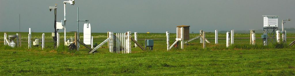
What types of observations do we make?
- Satellite – these give images of the whole globe from space;
- Land surface - measuring the weather that we experience on the ground using instruments;
- Marine - making measurements near the surface of the ocean and through its depths;
- Upper Air - providing the 3D structure of the atmosphere above the earth's surface;
- Radar - providing the fine detail of rainfall on scales down to 1 km;
- Thunderstorm location - pinpointing thunderstorms and their associated severe weather